 ISURVEYOR
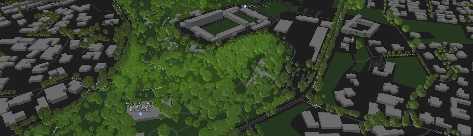
A Geographic Information System (GIS) is a system designed to capture, store, manipulate, analyze, manage, and present spatial or geographic data. GIS applications are tools that allow users to create interactive queries (user-created searches), analyze spatial information, edit data in maps, and present the results of all these operations. GIS (more commonly GIScience) sometimes refers to geographic information science (GIScience), the science underlying geographic concepts, applications, and systems. Since the mid-1980s, geographic information systems have become valuable tool used to support a variety of city and regional planning functions.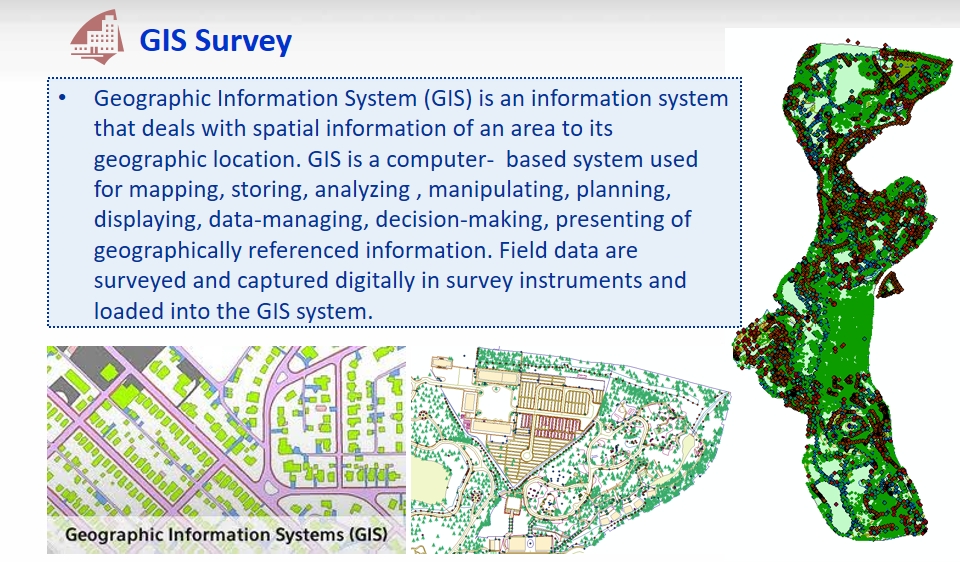
GIS can refer to a number of different technologies, processes, techniques and methods. It is attached to many operations and has many applications related to engineering, planning, management, transport/logistics, insurance, telecommunications, and business.For that reason, GIS and location intelligence applications can be the foundation for many location-enabled services that rely on analysis and visualization.
GIS can relate unrelated information by using location as the key index variable. Locations or extents in the Earth space–time may be recorded as dates/times of occurrence, and x, y, and z coordinates representing, longitude, latitude, and elevation, respectively. All Earth-based spatial–temporal location and extent references should be relatable to one another and ultimately to a "real" physical location or extent. This key characteristic of GIS has begun to open new avenues of scientific inquiry.
Learn more on https://en.wikipedia.org/wiki/Geographic_information_system
A framework to organize, communicate, and understand the science of our world.
A geographic information system (GIS) is a framework for gathering, managing, and analyzing data. Rooted in the science of geography, GIS integrates many types of data. It analyzes spatial location and organizes layers of information into visualizations using maps and 3D scenes. With this unique capability, GIS reveals deeper insights into data, such as patterns, relationships, and situations—helping users make smarter decisions.
Learn more on https://www.esri.com/en-us/what-is-gis/overview
GIS Websites
OneMap https://onemap.sg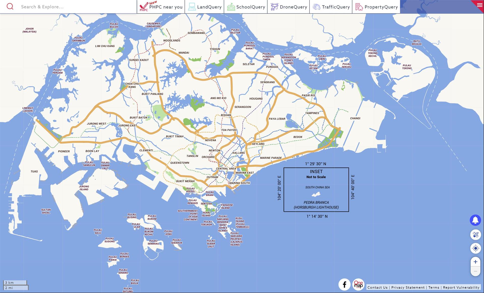
TreeSg https://www.nparks.gov.sg/trees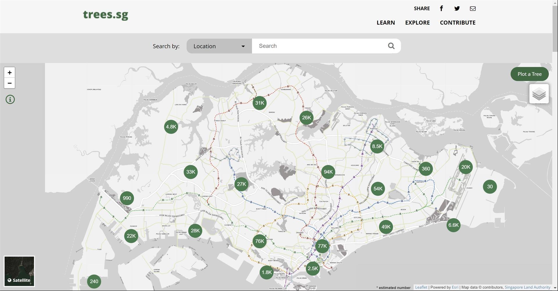
CONTINUE READING
- Explore NPark's Tree GIS Portal
- Dimensional Control Survey
- Hydrographical Survey
- Measured Survey
- Monitoring Survey
- Tunnel Survey
- Road Data Hub/GIS Data Hub
- As-built Survey
MORE READING
- PREV: 3D Reality Capture
- NEXT: What is BIM