 ISURVEYOR
Hydrographical survey involves the measurement and description of features of the seabed / riverbed, swamps, ponds, dredging site, foreshore structure and the 2.515 HWM line. Registered Surveyor carries out such survey at coastal areas whereas hydrographic surveyor conducts their survey in deep seas for maritime and navigational purposes.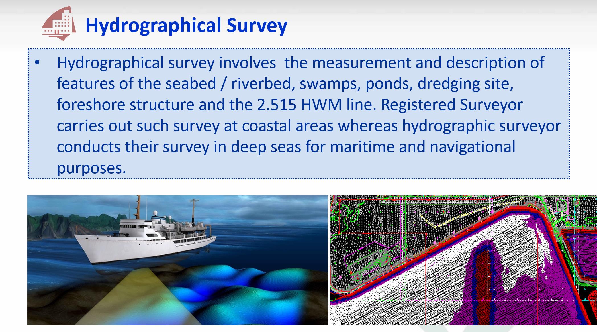
Hydrographic survey is the science of measurement and description of features which affect maritime navigation, marine construction, dredging, offshore oil exploration/offshore oil drilling and related activities. Strong emphasis is placed on soundings, shorelines, tides, currents, seabed and submerged obstructions that relate to the previously mentioned activities. The term hydrography is used synonymously to describe maritime cartography, which in the final stages of the hydrographic process uses the raw data collected through hydrographic survey into information usable by the end user.
Hydrography is collected under rules which vary depending on the acceptance authority. Traditionally conducted by ships with a sounding line or echo sounding, surveys are increasingly conducted with the aid of aircraft and sophisticated electronic sensor systems in shallow waters.
In suitable shallow-water areas lidar (light detection and ranging) may be used. Equipment can be installed on inflatable craft, such as Zodiacs, small craft, autonomous underwater vehicles (AUVs), unmanned underwater vehicles (UUVs) or large ships, and can include sidescan, single-beam and multibeam equipment. At one time different data collection methods and standards were used in collecting hydrographic data for maritime safety and for scientific or engineering bathymetric charts, but increasingly, with the aid of improved collection techniques and computer processing, the data is collected under one standard and extracted for specific use.
Read more on https://en.wikipedia.org/wiki/Hydrographic_survey
CONTINUE READING
- Explore NPark's Tree GIS Portal
- Dimensional Control Survey
- Measured Survey
- Monitoring Survey
- Tunnel Survey
- Road Data Hub/GIS Data Hub
- As-built Survey
- Engineering Survey
MORE READING
- PREV: Measured Survey
- NEXT: Dimensional Control Survey