 ISURVEYOR
11
03
-
2020
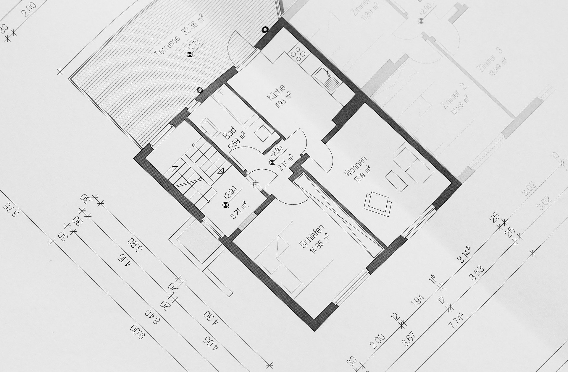
To survey buildings under conservation, their facades using 3D scanning technology or the conventional 3D point survey and to produce elevations, cross sections and floor layouts of the buildings, such a survey may be conducted before renovation works, for commercial purpose, or at end of the construction process.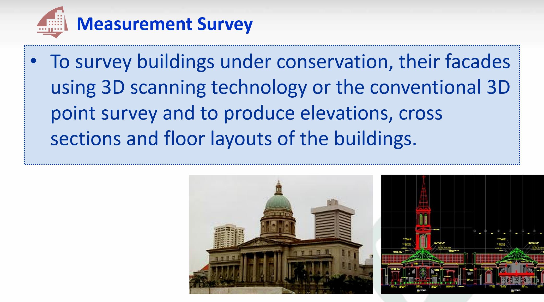
CONTINUE READING
- Explore NPark's Tree GIS Portal
- Dimensional Control Survey
- Hydrographical Survey
- Monitoring Survey
- Tunnel Survey
- Road Data Hub/GIS Data Hub
- As-built Survey
- Engineering Survey
MORE READING
- PREV: Monitoring Survey
- NEXT: Hydrographical Survey