 ISURVEYOR
09
03
-
2020
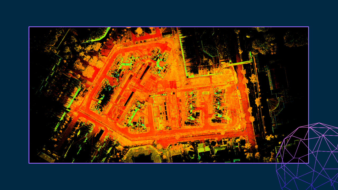
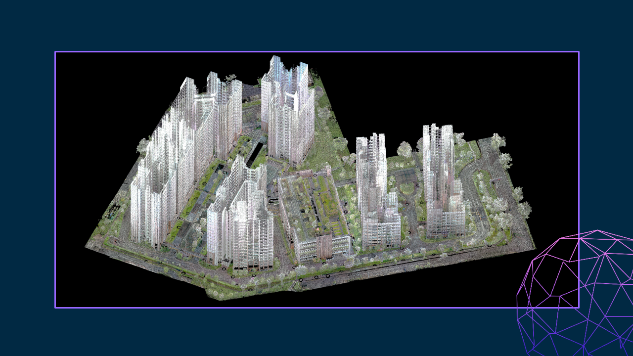
3D Reality Capture is a process of scanning and capturing any site, for example plants, buildings or crime scenes, in a 3D digital model, combining measurements and imagery. The resulting model can be used for design and comparison purposes, to ensure site safety in inhospitable environments or as evidence in a criminal case, capturing every detail with to-the-millimetre accuracy.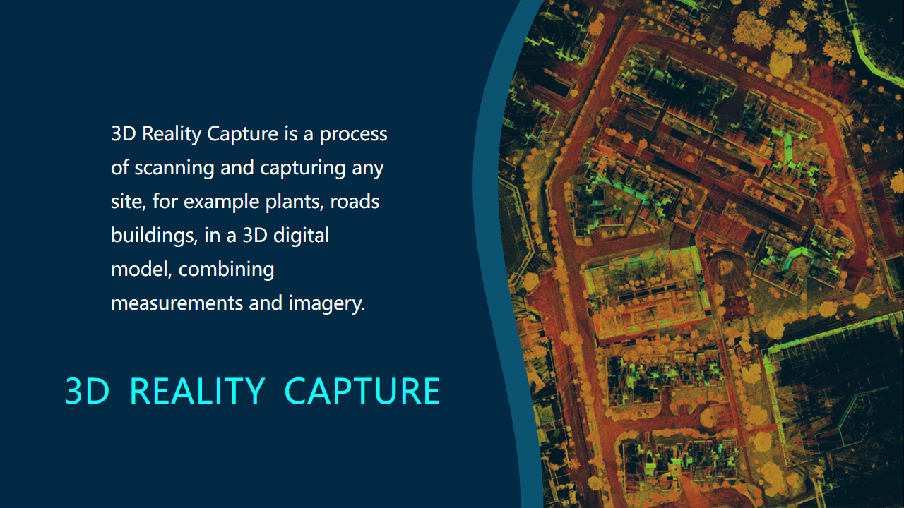
CONTINUE READING
- Explore NPark's Tree GIS Portal
- Dimensional Control Survey
- Hydrographical Survey
- Measured Survey
- Monitoring Survey
- Tunnel Survey
- Road Data Hub/GIS Data Hub
- As-built Survey
MORE READING
- PREV: What is Survey
- NEXT: What is GIS