 ISURVEYOR
10
03
-
2020

Topographical helps determine accurately the terrestrial or three-dimensional space position of points and the distances and angles between them using leveling instruments such as theodolites, dumpy levels and clinometers.
Topographic surveying is a field of geoscience and planetary science and is concerned with local detail in general, including not only relief but also natural and artificial features, and even local history and culture.
Topographic surveying is the mapping of existing natural features and man-made structures and to draw them to suitable scale for development, planning and land use purposes.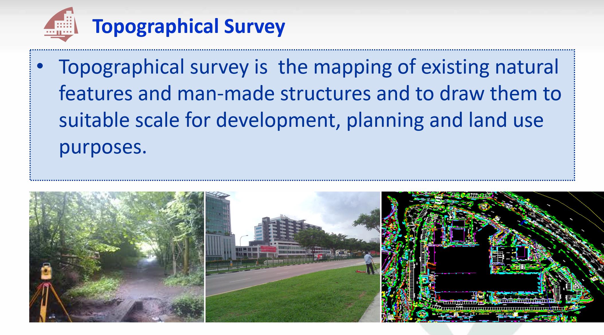
CONTINUE READING
- Explore NPark's Tree GIS Portal
- Dimensional Control Survey
- Hydrographical Survey
- Measured Survey
- Monitoring Survey
- Tunnel Survey
- Road Data Hub/GIS Data Hub
- As-built Survey
MORE READING
- PREV: What is BIM
- NEXT: Cadastral Survey