 ISURVEYOR
 【 GIS 】 What is GIS
10
03 -
20
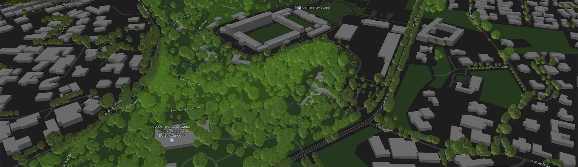 A Geographic Information System (GIS) is a system designed to capture, store, manipulate, analyze, manage, and present spatial or geographic data. GIS applications are tools that allow users to create interactive queries (user-created searches), analyze spatial information, edit data in maps, and present the results of all these operations. GIS (more commonly GIScience) sometimes refers to geographic information science (GIScience), the science underlying geographic concepts, applications, an...