 ISURVEYOR
 【 GIS,NEWS 】 Explore NPark's Tree GIS Portal
14
03 -
20
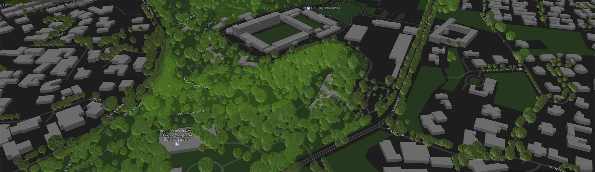
 National Parks Board (NParks) Tree GIS Portalhttps://www.nparks.gov.sg/treesExploreTrees.SGhttps://exploretrees.sg/