 ISURVEYOR
 【 SURVEY 】 Hydrographical Survey
11
03 -
20
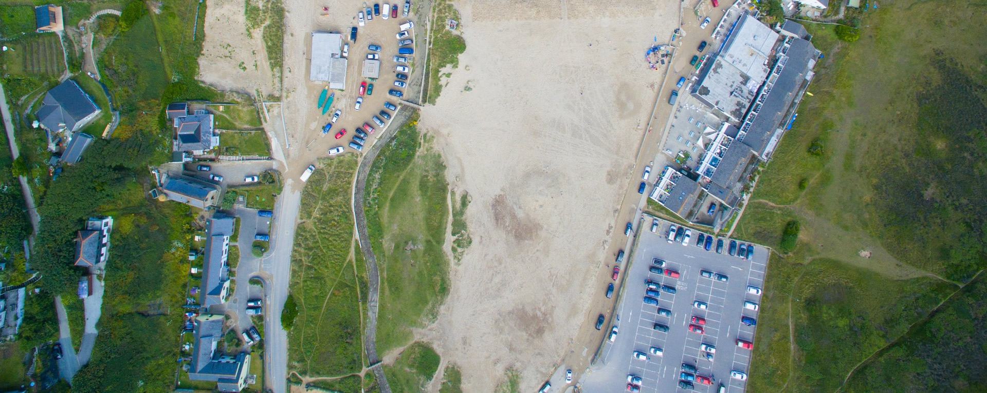
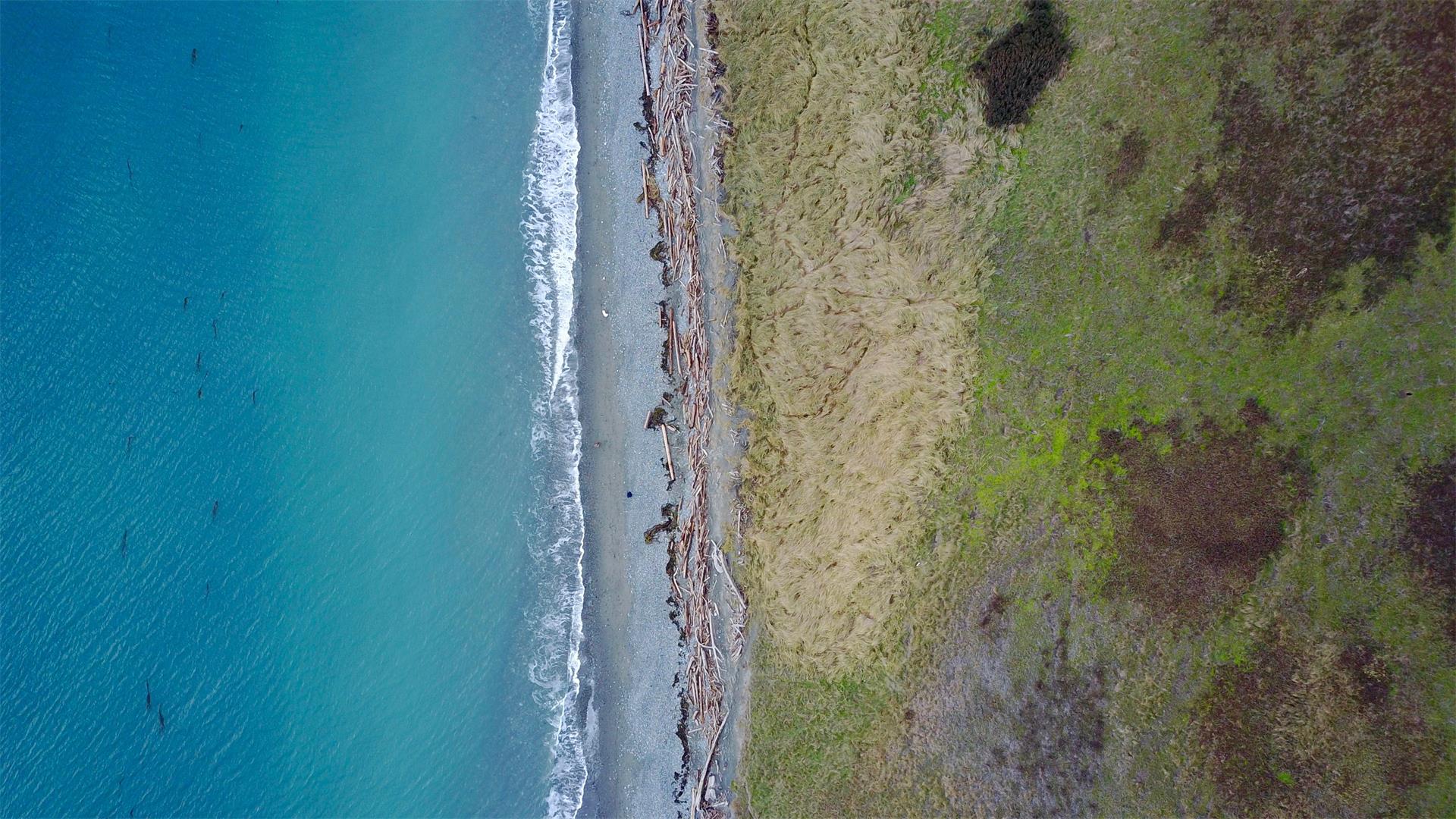 Hydrographical survey involves the measurement and description of features of the seabed / riverbed, swamps, ponds, dredging site, foreshore structure and the 2.515 HWM line. Registered Surveyor carries out such survey at coastal areas whereas hydrographic surveyor conducts their survey in deep seas for maritime and navigational purposes.Hydrographic survey is the science of measurement and description of features which affect maritime navigation, marine construction, dredging, offshore oil ...